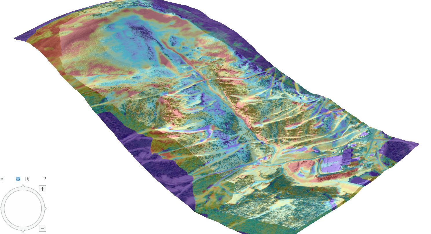
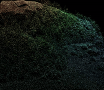
Gather Data Insights with LiDAR and Geomatics Expertise
Since 2004, Alpine Solutions has delivered mountain hazard engineering excellence – now offering LiDAR services for British Columbia's industries, providing advanced data acquisition and precision analysis in the province's most challenging landscapes.
- Specializing in Steep Mountainous Terrain
- Reaching all of British Columbia
- Expertise in Remote Areas
"Alpine Solutions brought a wealth of knowledge beyond what we envisioned. We appreciate their professionalism and deep knowledge of remote sensing products and possibilities. "
Department of Community Services
Wildland Fire Management Branch
Our LiDAR Capabilities
Using LiDAR Data to Deliver
.jpg)
High Resolution DEM
Our advanced system captures details of the mountain’s topography and vegetation cover with unprecedented precision.
Photogrammetry
By analyzing overlapping images, these services offer accurate measurements and insights for applications like urban planning and construction.
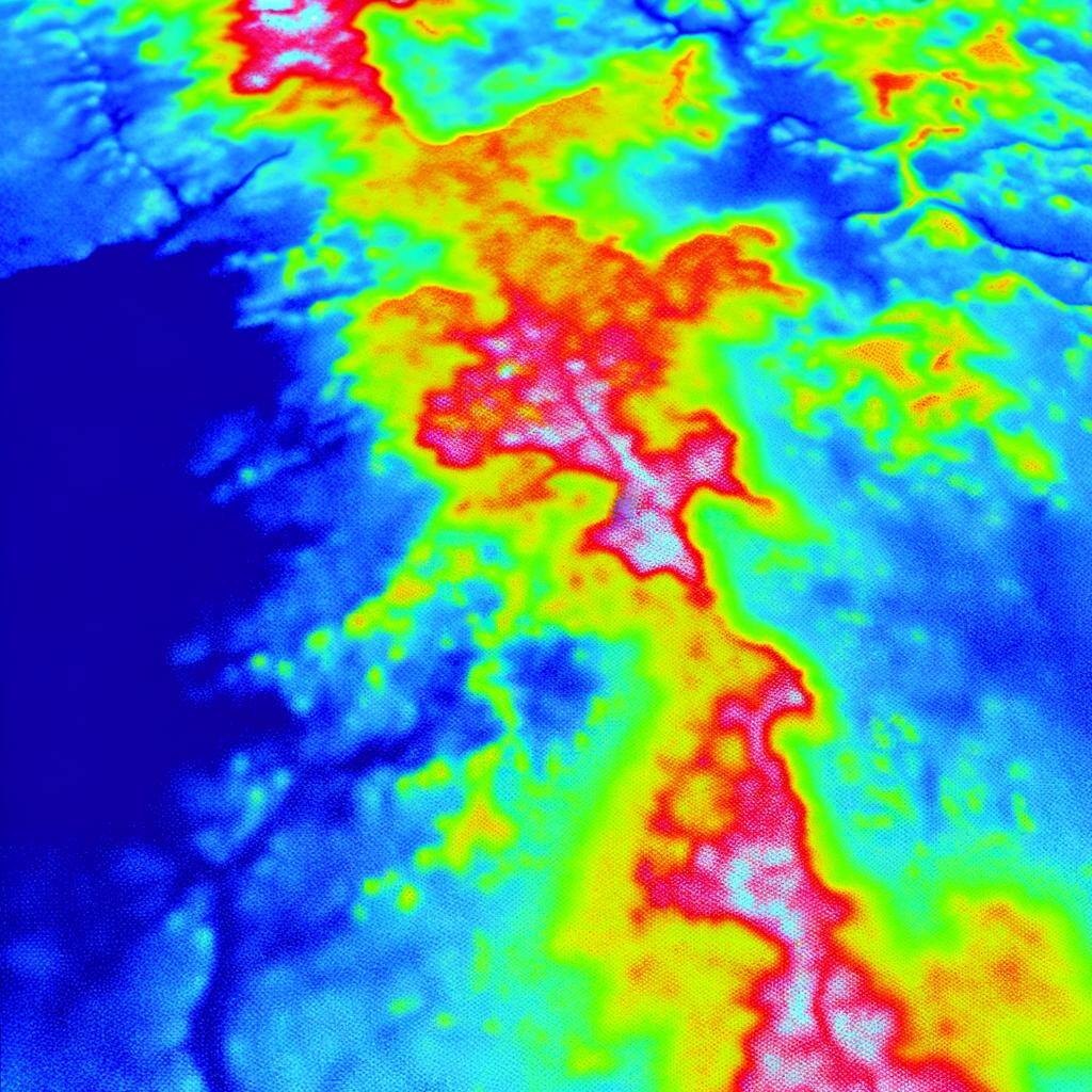
Thermal Imagery
Enhance your environmental and infrastructure assessments with LiDAR-provided thermal imagery, offering precise heat detection and detailed mapping for comprehensive analysis.
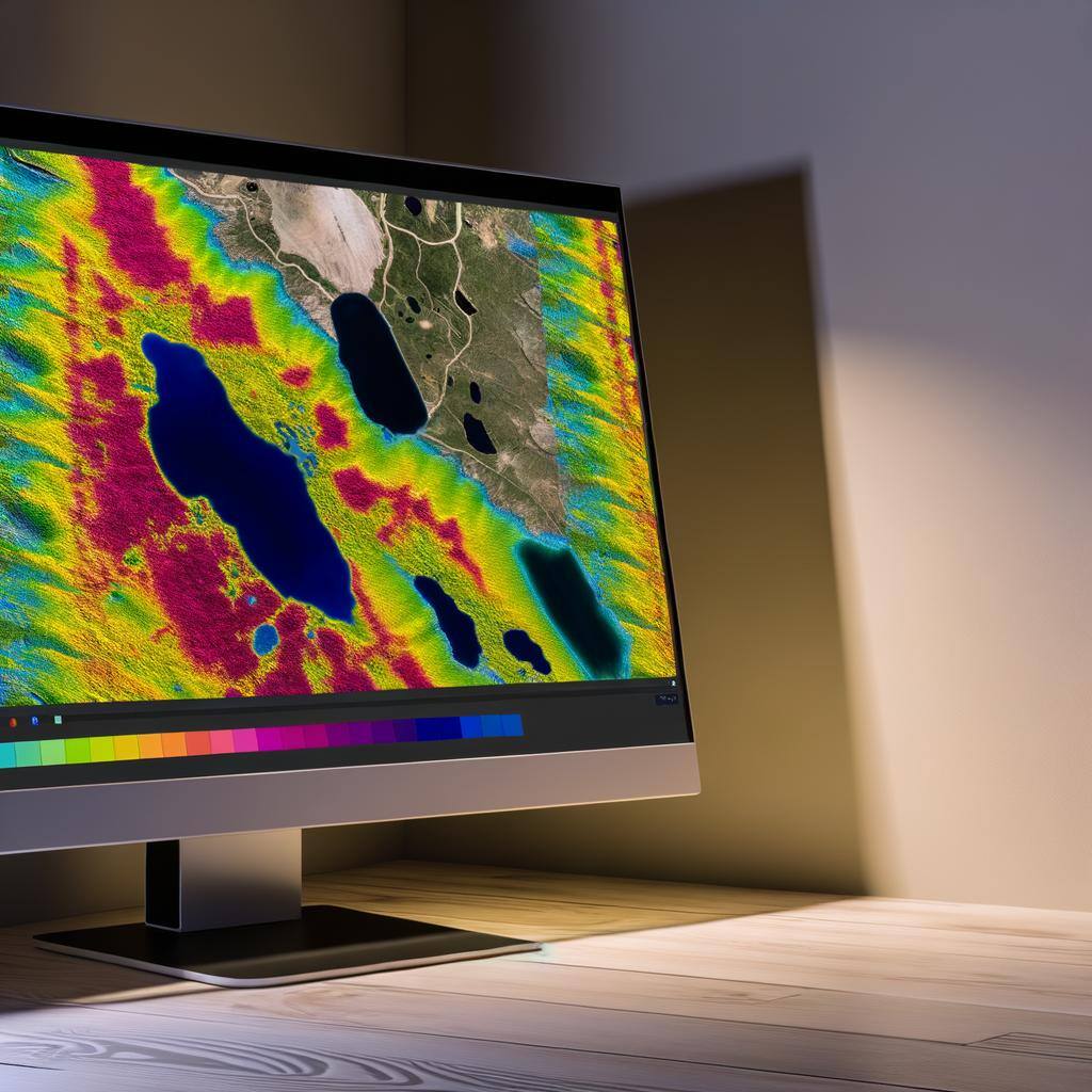
Multispectral and Hyperspectral Imaging
Advanced imaging techniques used to capture data across multiple wavelengths of light, beyond what the human eye can see.
Snow Avalanche Risk Management
Avalanche prediction and monitoring systems using remote sensing technologies, GIS-based avalanche risk management decision support tools, avalanche hazard mapping, automating conditions monitoring processes to improve efficiency and safety.
Environmental Monitoring
Glacial and snowpack monitoring using remote sensing and UAVs, 3D Spatial modelling and visualization
Infrastructure and Development:
Planning and monitoring of alpine infrastructure e.g., roads, tunnels, ski lifts, terrain analysis for construction projects in mountainous areas, land cover classification using GIS and remote sensing.
Disaster Management:
disk assessment and mitigation planning, post-disaster damage assessment, emergency response data collection, processing and visualization tools.
Tourism and Outdoor Recreation:
Development of GIS-based trail maps and guides, as well as data management and analysis for compliance monitoring and reporting.
Power Line and Pipeline Inspection:
UAV-based inspections of power lines and pipelines in remote and difficult terrain. Detecting damages, corrosion, and vegetation encroachment. Automating inspection processes to improve efficiency and safety.
We provide spatial data collection, analysis, monitoring and visualization solutions
Understanding your survey needs
Everything begins with gaining a thorough understanding of our client's needs. Each flight's data parameters, such as flight elevation and speed, affect the data accuracy. We'll collaborate to define your specific needs, ensuring accurate, actionable data.
- Survey Objective
- Flight Path Area
- Determine Data Quality Levels
- Post Processing Requirement for Deliverables
- Method: LiDAR and Photogrammetry
- Goal: Comparing snow distribution depth the previous DEM
- Outcome: Accurate snow distribution map for avalanche risk management
Picking a Topographic Data Quality Levels (QLs)
Topographic Data Quality Levels are standardized classifications used to define the quality and accuracy of LiDAR data. They are defined by several QLs, each with distinct specifications:
Q0: High Accuracy
Vertical Accuracy RMSEz (cm) | 5cm | |
Nominal Pulse Spacing (NPS) meters | <=0.35 m | |
Nominal Pulse Density (NPD) points per square meter | >= 8pts/square meter | |
Digital Elevation Model (DEM) cell size meters | 0.5m |
Q2: Blended Accuracy and Efficiency
Vertical Accuracy RMSEz (cm) | 10cm | |
Nominal Pulse Spacing (NPS) meters | <=0.35 m | |
Nominal Pulse Density (NPD) points per square meter | >= 8pts/square meter | |
Digital Elevation Model (DEM) cell size meters | 0.5m |
Q2: High Efficiency
Vertical Accuracy RMSEz (cm) | 10cm | |
Nominal Pulse Spacing (NPS) meters | <=0.71 m | |
Nominal Pulse Density (NPD) points per square meter | >= 2pts/square meter | |
Digital Elevation Model (DEM) cell size meters | 1m |
A Flight Plan is Prepared
Flight plan preparation for LiDAR surveys is a meticulous process that ensures compliance with legal requirements and optimizes data collection for forestry operations. This involves coordinating with regulatory bodies, planning flight paths, and ensuring all necessary permissions and safety protocols are in place.
-
Transport Canada Approvals: We secure Special Flight Operations Certificates (SFOCs) from Transport Canada
-
Flight Path Optimization: Use of accurate GIS mapping and point cloud data to cover the entire project area efficiently.
Flight Day
We set up an operations base and conduct a thorough site assessment. Nearby workers are briefed to identify potential hazards and establish locations for our ground control points, ensuring the accuracy of the LiDAR data.
-
Equipment Check & Safety Briefing
-
Establishing Ground Control Points: These points calibrate the LiDAR data during post-processing
- Flight Plan Execution
- Real-Time Monitoring
Post-Flight Data Processing and Data Delivery
After completing the LiDAR survey flights, the next crucial step involves processing the collected data to transform it into actionable insights. Our post-flight data processing and delivery services ensure that you receive high-quality, precise data tailored to your forestry management needs.
-
Data Validation and Quality Control
-
Colourized and classified point cloud
- Derived Elevation Products
- Areal ortho imagery
Data Processing Expertise
Our specialty is developing customized GIS systems that provide data-driven solutions for alpine regions. These include:
-
Data Modelling and Spatial Analysis:
Creating 3D models of terrain and natural features.
Analyzing spatial data to identify patterns and trends.
Using predictive modelling to forecast future conditions and plan accordingly. -
Automation:
Developing automated systems for data collection, processing, and analysis.
Implementing machine learning algorithms for risk assessment.
Streamlining workflows to improve efficiency and reduce costs. - Decision Support Tools:
Building GIS-based platforms to support real-time decision-making.
Integrating various data sources to provide comprehensive situational awareness.
Leverage LiDAR Technology
Schedule a consultation now and discover how our cutting-edge LiDAR solutions can revolutionize your operations:
-
Capture and process high-resolution LiDAR data to generate precise 3D models and terrain analyses.
-
Implement GIS-based tools that provide real-time insights and decision-making capabilities for your operations.
-
Transform raw spatial data into actionable intelligence that drives project efficiency and accuracy.
-
Seamlessly integrate detailed topographical data into your existing systems for enhanced project planning.
-
Quantify the impact of our cutting-edge data processing on your project outcomes, ensuring optimal resource allocation and risk management.